|
June 12, 2015
|
|
- - - - - - - - - - - - - -
|
 |
| - - - - - - - - - - - - - - |
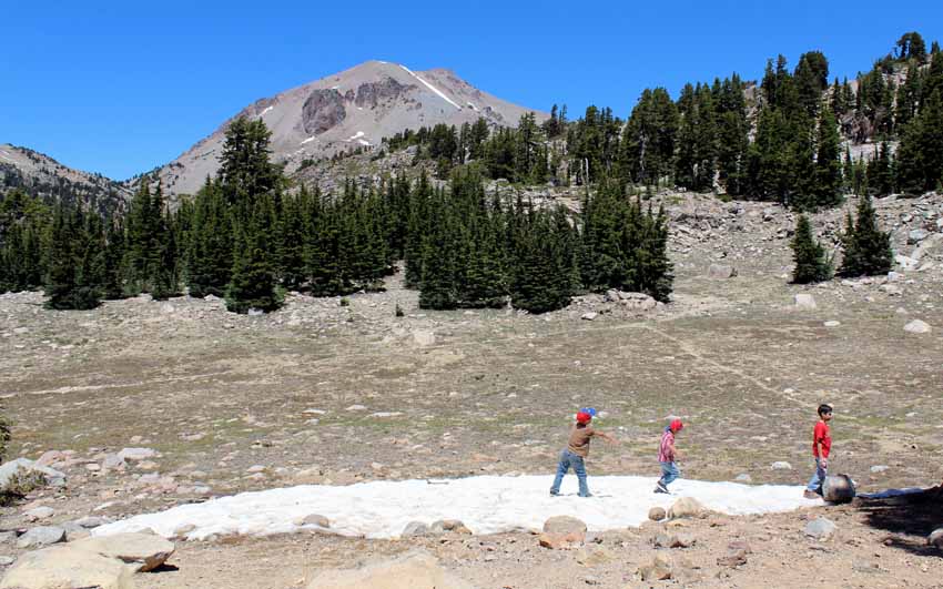
| Then it was back to the road continue the day's adventure to a very unique waterfall. That is Mt. Lassen (10,457 feet) in the background, which last erupted in 1917. There is a 2.5 mile trail from the road to the top, an elevation gain of 2,000 feet. Peggy and I have done it twice, the last time documented in July, 2009 on BunceMan.com... |
| _ |
| Mt. Lassen Map | 1 | 2 | 3 | 4 | 5 | 6 | 7 | 8 | 9 | 10 | 11 | 12 | 13 | 14 | 15 | 16 | 17 |
| Log entries: |
| June 8/9, Lake Tahoe | 10 Pyramid Lake | 11 Lake Almanor | 12 Mt Lassen / Burney Falls | 13 Mt Shasta | 14/15 Crater Lake |
| ______ |
| Travelogue Home Page| BunceMan.com |