|
June 11, 2015
|
|
- - - - - - - - - - - - - -
|
 |
| - - - - - - - - - - - - - - |
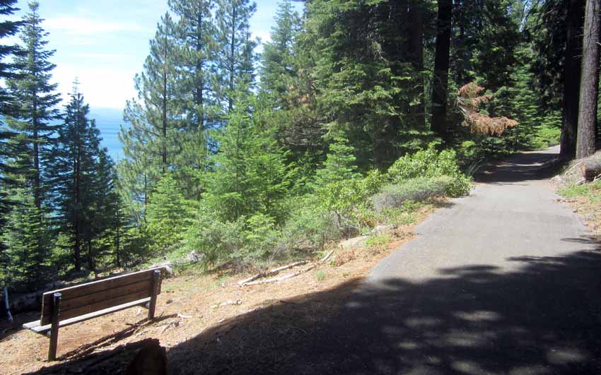
| This photo was taken along the "Almanor Trail", a very cool, paved, "undulating" ten-mile trail. After turning east off Highway 89 onto Humbug Road, go along for about a 100 yards to where the trail begins at the northern terminus. From there, it mostly follows the shoreline to the southern terminus at Almanor Campground near the dam. According to a brochure, "This incredibly scenic trail is open to wheechair, pedestrian, bicycle and cross-country ski travelers." |
| _ |
| Lake Almanor Map | 1 | 2 | 3 | 4 | 5 | 6 |
| Log entries: |
| June 8/9, Lake Tahoe | 10 Pyramid Lake | 11 Lake Almanor | 12 Mt Lassen / Burney Falls | 13 Mt Shasta | 14/15 Crater Lake |
| ______ |
| Travelogue Home Page| BunceMan.com |